 |
| Best run by a dam site... |
However, this weekend, we made a trip to Topeka to see Dan's family. Northeast Kansans tend to view their part of the state as the only part that matters, and while I don't subscribe to their elitist view in a general sense, where scenery is concerned, our poor Ark Valley cannot really compete. Anyway, I looked forward to once again running around scenic Lake Shawnee for my scheduled 13 miler. Rachel is unwilling to go with me if I go over six, so this was again a solitary run.
The last time I ran there, my Runkeeper GPS wasn't working. It was kind of cool actually, because it kept telling me I was going 40 miles per hour that day, but the upshot is, I never really learned how far it was around the lake. But I knew it was somewhere between six and eight miles, so I was probably going to have to do almost two loops to get in my half marathon. I got there at about 7:30 a.m. The weather was cool and cloudy, but super humid. I parked my trusty van at shelter house 3 which is located on the southwest tip of the lake. My starting place was strategic because I knew the toughest part of the route was the southeast and east side of the lake where I would encounter those foreign terrors known as hills.
Lake Shawnee is a really scenic and fun place to run, but I will say I set a new record on Runkeeper for elevation changes that day. Running counterclockwise around the lake, you must slog your way up four or five hills. The grade is not too radical going that direction, but they seem pretty long, especially on a humid day when the air is still. If you are really wanting to experience pain, I suppose you could run clockwise. For some reason, all the grades seem much steeper that direction.
 |
| This is the steepest hill in the park which you go down if you are running counterclockwise. I tried to maintain a normal gait on the way down, but I ended up doing some ridiculous lurching skip. |
It's hard to take photos that accurately display the grade of things, but trust me, this one is doozy.

 |
| Here's the same hill from the bottom. |
 |
| Dan at the bottom of the hill for scale. |
Well, you get the idea. Anyway, there's a rather sad story about this hill that I learned from my friend Kelli a few hours after my run. Apparently a few years ago, a woman lost control of her bike on this hill with a fatal result. That is why there are now signs that tell riders they must walk their bikes here.

 |
| More fun hills. |
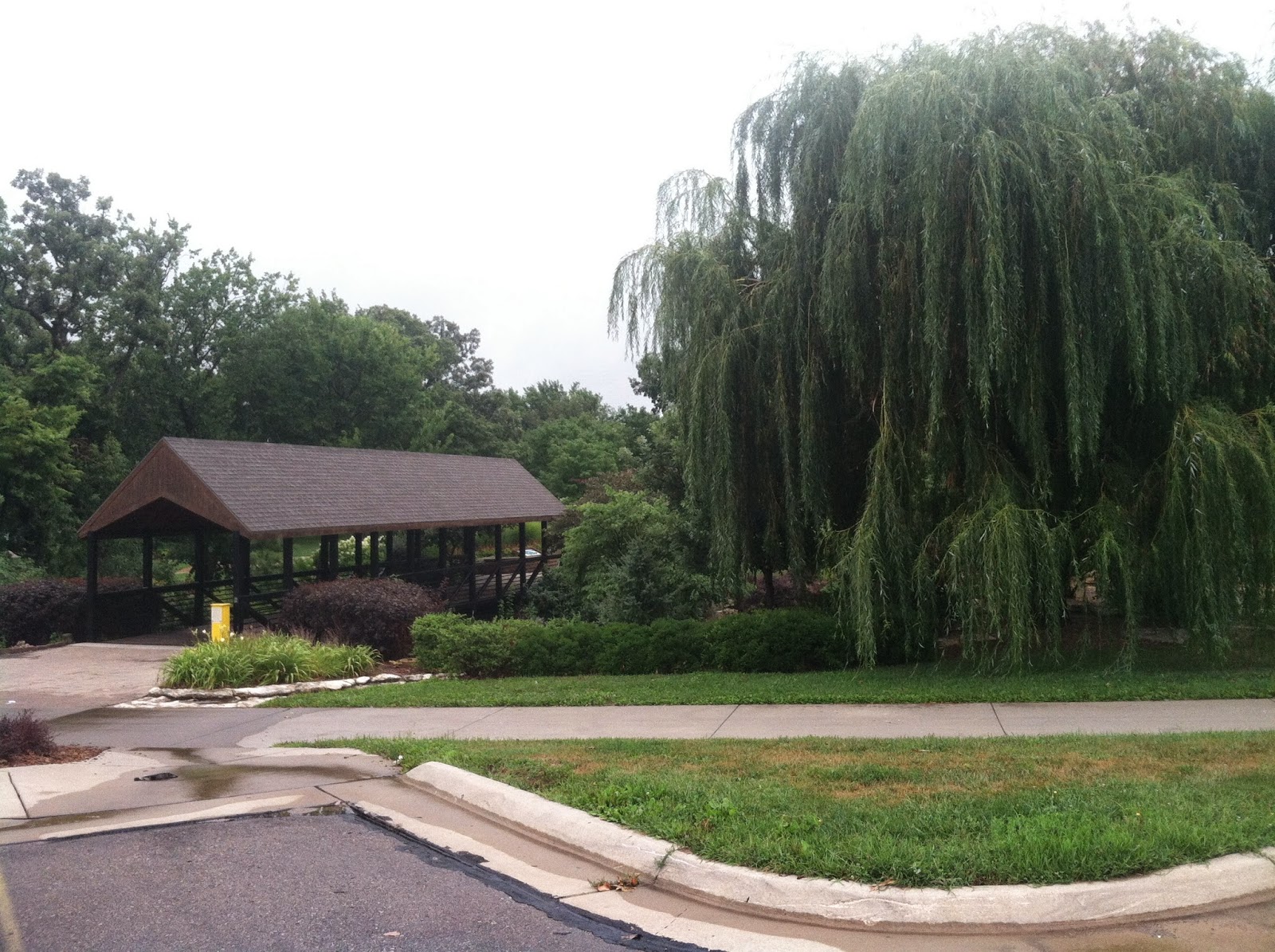
So as you run along the east side of the lake, you tend to see more of the same. Also, you aren't really running by the lake at all; you're running alongside the golf course. As you continue, the golf course gives way to a camping area and the terrain levels out. You then run through a grassy area, down by a small cove, where I saw a fishing boat, past the swimming beach and up to a fairly impressive baseball field. Once you corner the field, the run becomes great. The north and west sides of the loop take you across the dam and then treat you to shady and scenic lake views.
 |
| Lake view from the dam |
 |
| Looking down from the dam. For a Wichita girl, this is some altitude. |
All in all, Lake Shawnee is a great place to run. The path is well-kept and it's never been super crowded when I've gone. Just do the hills early in your route. It turns out, according to Runkeeper, that the loop around the lake is 6.9 miles which worked out pretty well for my half-marathon morning. I have to say, I was not looking forward to the second pass, but once I made it back to the camping site, I felt like I had it made. And I learned that I can do hills if I have to. I'll end with a few more photos.


A WPA project, Lake Shawnee opened in 1939. It is located at 3027 SE Beach Terrace. It is open from 6 a.m. to 11 p.m. daily.
No comments:
Post a Comment